Things we have experienced since Sault – June 23 – 30:
We departed Sault heading down St. Mary’s river Whiskey Bay anchorage – to check into Canadian customs via a payphone in this wilderness camp/marina. It was an easy clear in and they granted us our liquor overage. They didn’t even ask if we had potatoes or blueberries which I did get rid of. Oh well, will pick some up at the next town. We met many freighters and stopped to let one go by since parts of the St. Mary’s is abit narrow and they do have “right of way”.
Proceeded down to Turnbull Island North Channel to anchor. Met some Canadians from North Channel Yacht Club/Marina which is near no town, slips/mooring balls for 50 boats and self maintained for around $600/boat/year. Maybe in our future… It was our first experience of the shallow anchorages 10-12’, narrow entrances and bluffs for wonderful views. This area has brown water so you can’t see anything. We did see a pair of eagles and nest somewhat close.
Next onto Beardrop harbor anchorage where we again hiked bluffs to see the beautiful Whaleback channel with many rock island outcroppings. This is the first time we spoke to “Charlie” a 57 yr old from Long Island, NY on a 20’ hobie catamaran w/10” draft where he has a custom tent created over the trampolines. He zoomed around our boat during our conversation along with putting a video camera on a tripod on one of the pontoons. So yes we are now going to be in his family videos. When we physically met a couple days later at So. Bejamin beach, he told us that he hadn’t slept or been on land for 5 days and a few days earlier sprained his ankle. He has a water purifier, GPS, dried food, clothes, tent, etc. in dry bags on each pontoon. He speaks highly of this method of sailing around and has discovered new channels not marked on charts. He mentioned he was soooo happy to be able to chat for awhile since he gets lonely. He doesn’t want to be computer literate so no e-mail. He started in Blind River and ending in a town in Georgian Bay where he will hitch hike back to his car.
South Benjamin Island is VERY beautiful anchorage with MANY high bluffs to hike and see wonderful vistas. Most of our anchorages have been by ourselves or with 1 other boat. We have seen Bill and Cindy on a couple anchorages once we plan the destination and catch up. Its been nice to chat about their experience.
On our way to Little Current you need to go through another cut called Little Detroit. Through all these rivers, channels and cuts you gain some current to push or slow you down. You never now its direction. Little Current bridge provides the only land access to Manitoulin Island and opens every hour for 15 minutes. We tend to wash clothes, fuel/water up, pump out, grocery shop and buy ice cream in these towns.
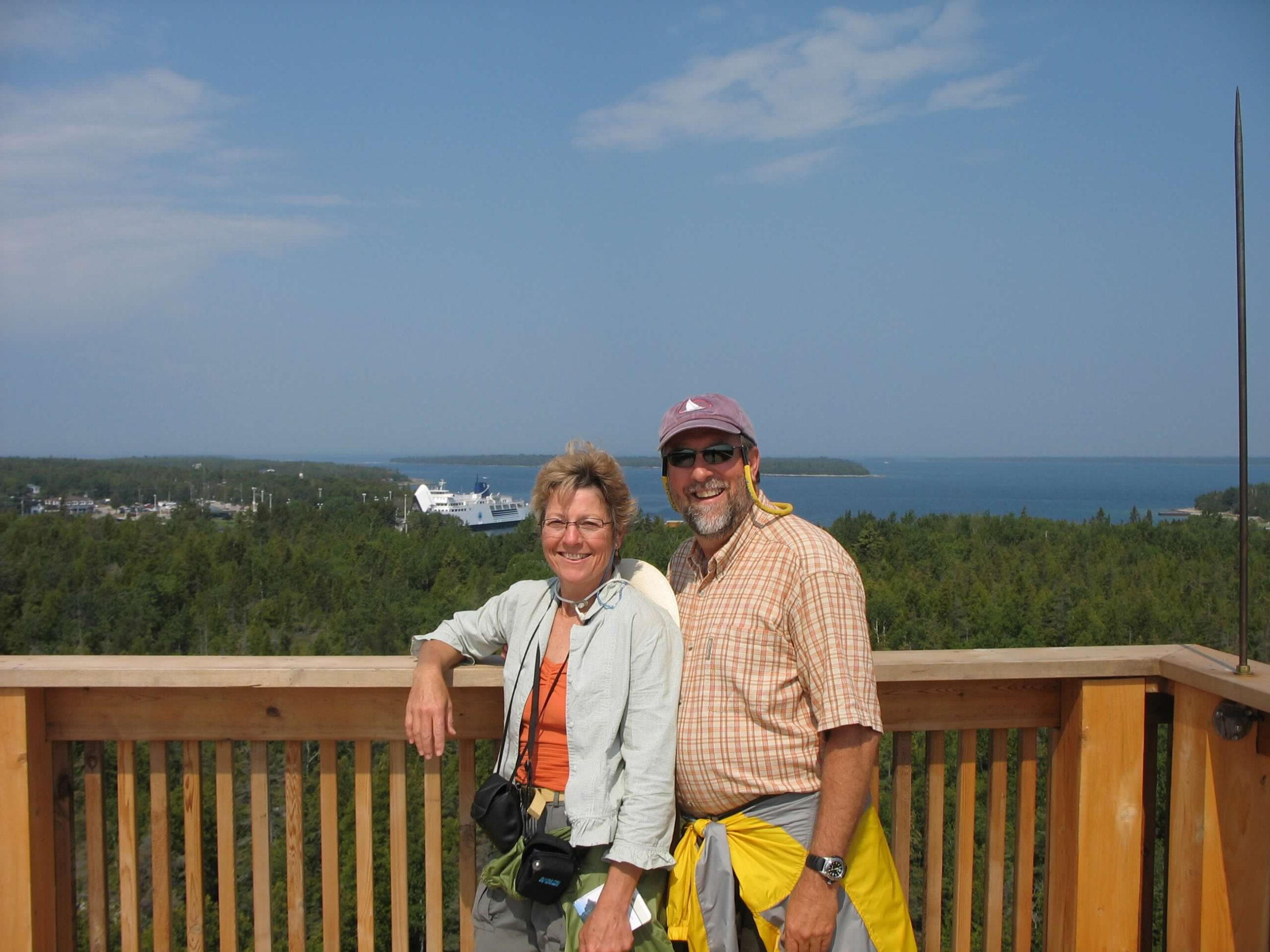
We are now in Tobermory. We had many distant thunderstoms to watch, waves continued to increase and fortunately we only got some rain. It is a cute town but didn’t have much time to hang around since needed to get to an anchorage. It is named after the Scottish seaport — means “Well of the Virgin Mary”. The Canadians holiday is this weekend so the quaint town we found early Friday AM has turned into a large yacht haven with many tourists and fish and chips. Everyone wearing Red and white. They have a HUGE ferry that ¼ of the front opens up to take on cars and takes you to Manitoulin Island called “CheeCheeMaun”. We ran into our first Alberg sistership from Lake Ontario – Toronto. Nice couple that bought boat 1-1/2 yr ago. Going to Lake Superior. We have enjoyed our stay and travels.
Next stop is 50nm run to Port Elgin on Lake Huron.
A FYI:
If you want to see (on a map) exactly where we are, go to
www.mapquest.com/maps/
click on the “Map by Lat/Long” link and then enter our coordinates.
Note that West longitudes are entered as negative numbers. So on the
Mapquest “Maps by Lat/Long” page enter:
Latitude: N 45′ 15.5 Longitude: W 081′ 39.91
and then click the “Get Map” button. You can zoom in and out to get a better idea of where we are anchored…
We are at these coordinates, and will send lats & longs as we send you updates.
Stay focused and don’t let your dreams go unlived!!!
One response to “Sault to Tobermory, Ontario 7-1-2006”
Hi there sailors!You are really making time! Did you anchor in Big Tub Harbor there? We enjoyed Port Elgin too–nice beach and the Sunset Restaurant was good (I\’m reading my journal). Kincardine was like a mecca after being in small villages before that. The bagpiper at the top of the lighthouse there was really awesome. We enjoyed Bayfield south of there too–long channel full of boats. The marina at Sarnia is really nice.
I\’m going to email our old cruising friends (from our \’77-\’78 trip) who live in Metro Beach by Lake St. Clair. Prudy & Charlie Biliu. Her daughter is Dawn Riley. They are quite a wonderful, sailing family. We tied our boat to their beautiful old sailboat "Mary Prudence" on the dock in front of their house. Lots of canals there. Anyway, if they are there, I would love for you to stop and meet them. Johesa too. I\’ll let you know.
We had from Friday to this morning up at the boat and it was glorious! Anchored in Raspberry Bay and then at Justice Bay, Sand Is. Took the inflatible (now officially named "Fast Toy" to Madeline for the parade yesterday and in the afternoon back in Bayfield, we saw the parade there honoring Bayfield\’s 150 years in existence. For the fireworks, we took the dinghy out of the harbor and watched the fireworks coming from a big barge. Love, Joyce